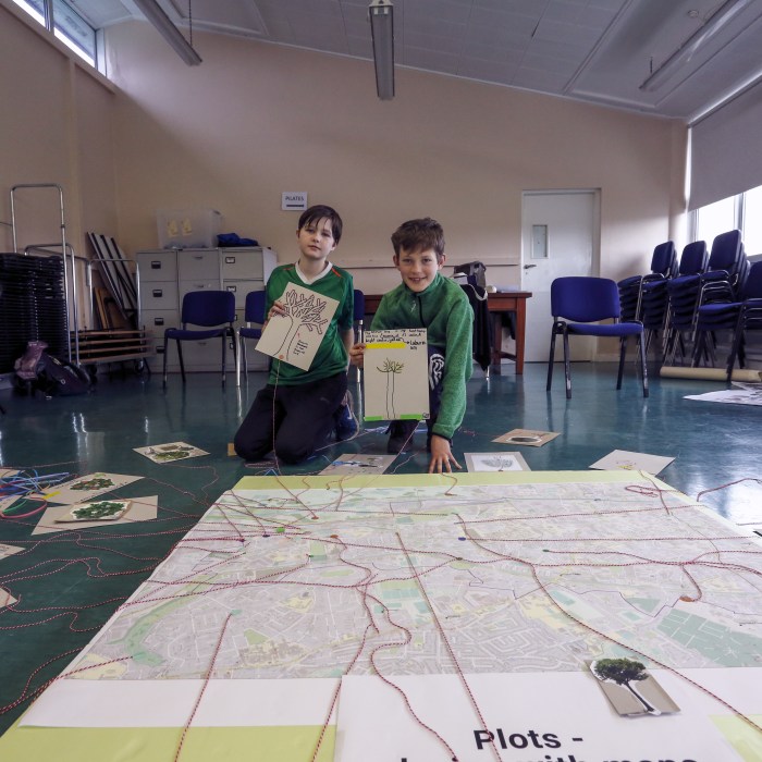
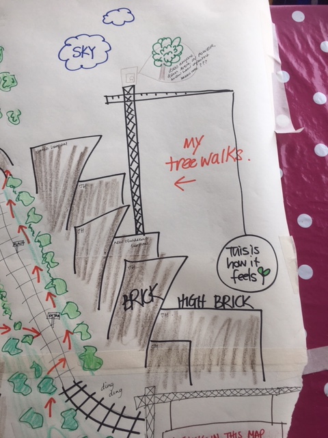
In July 2020, the PLOTS tool was created by Seoidín O’Sullivan to create an active site of communal mapping, exploration and gathering as part of the Covid-adjusted research programme for Mapping Green Dublin. Combining the tools of geographical field work and mapping with artistic walking and drawing methodologies, participants collectively and playfully created a deep mapping of Dublin City.
This activity examined the experience of local outdoor space during lockdown. An exhibition of the 16 PLOTS maps created was held in August 2020 at the Goldenbridge cemetery. Individuals commented on the changing local environment during lockdown, noticing reduced pollution and the nature and greenspace ‘closest in’ to their homes. Due to the restricted spatial freedom of lockdown individuals carved out new running and walking spaces to enhance their individual wellbeing.
The PLOTS tool is available for open use so why not give it a try?


CAMAC GO-ALONG
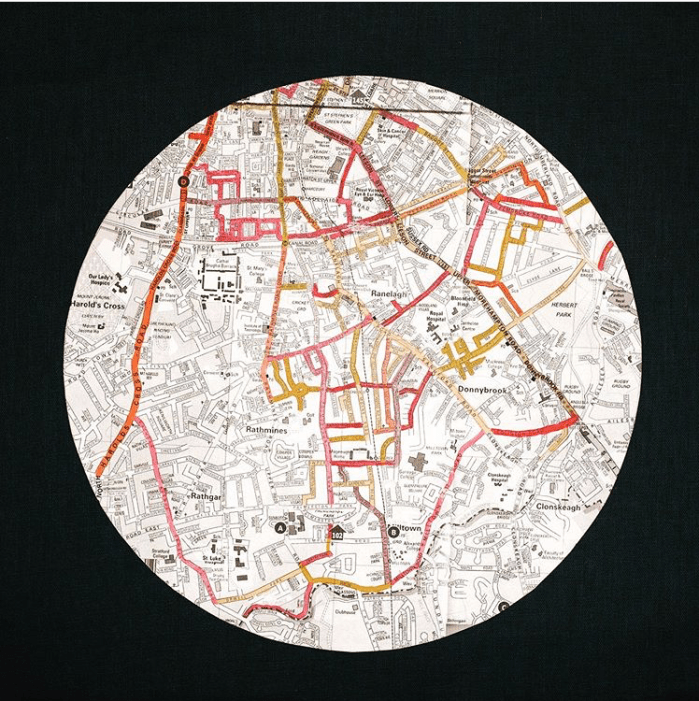
As part of the project, a ‘go-along’ method was developed using the River Camac as a linear site of encounter – follow our journey here. The walk was recorded using Ubipix video technology and a survey tool encouraged participants to carry out a place introspection, to become more attentive and connect to local neighbourhood attributes that make and keep us well.
The method showed the power of an in-situ encounter in capturing shared local knowledge, on planning, culture, identity, restorative initiatives and even some place anger. This event helped generate a collective position on the need for enhanced place care and new ways to recognise the value of open spaces in cities. You can take a look at our summary findings in poster format here
