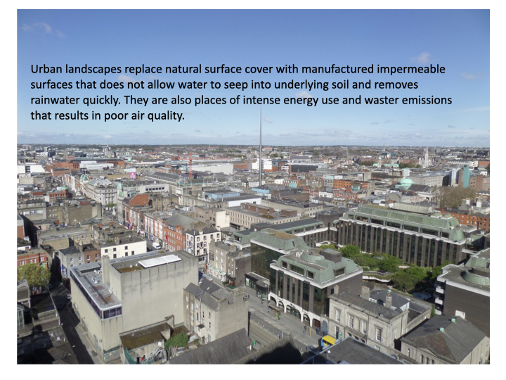
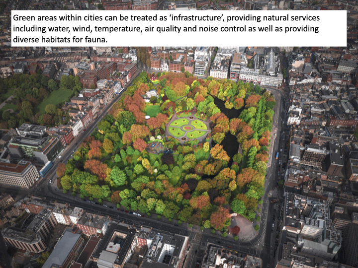
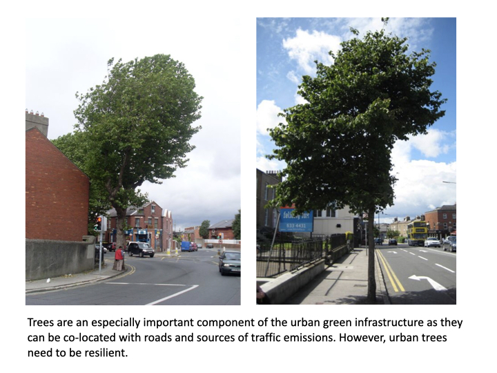
Trees contribute to biodiversity, rainfall management and air quality. They play an important role in removing pollutants (including carbon dioxide), which primarily come from vehicles and households, from the air.
To evaluate how trees do this, the information that is needed relates to species type and diameter at breast height (DBH). Understanding an urban forest’s structure, function and value can promote management decisions that will improve human health, wellbeing and environmental quality. Not all trees are equal!
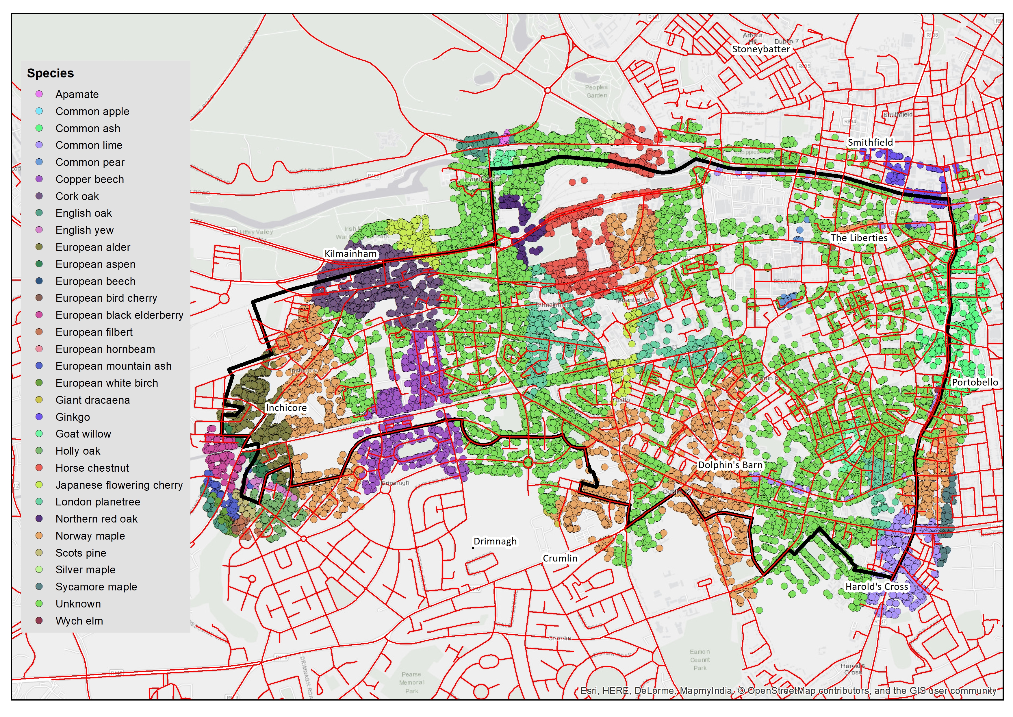
To date, there has been limited information on the make-up of trees in the Dublin City Council (DCC) area apart from those in some city parks and on some streets. We have been working with DCC to add species information to our tree database using the Curio mobile phone App. This allows individuals to enter specific information such as species type, health and dimensions about individual trees. Can you identify trees in your street or place of work in Dublin? Why not use the app to map your neighbourhood trees. We’ve uploaded a video explaining how to use the Curio app here.
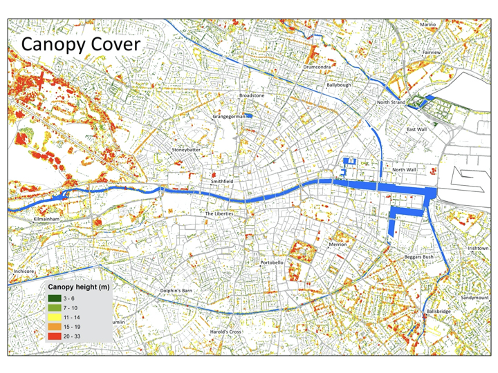
With this information we can examine ecosystem services and how these vary throughout the city. It is important to look at this in relation to other information such as residential density and traffic flows. We can estimate the heights of trees through Light Detection and Ranging (LIDAR) techniques and use that to estimate the size of the tree canopy. As the tree grows its canopy size increases (more leaf area to which pollutants can stick), it stores more carbon in its trunk, branches and roots and thereby sequesters more carbon on an annual basis.
An assessment of the vegetation structure, function, and value of the Dublin 8 urban forest was conducted during 2020. Data from 7635 trees located throughout the study area were analyzed using the i-Tree Eco model developed by the U.S. Forest Service, Northern Research Station. Detailed information can be found in the EPA report (section 4) and in our community strategy (section 2) but highlights include:
- Number of trees: 7,635
- Tree Cover: 83.26 acres
- Most common species of trees: Norway maple, Cork oak, London plane tree
- Percentage of trees less than 6” (15.2 cm) diameter: 31.8%
- Pollution Removal: 1918 pounds/year (€63.2 thousand/year)
- Carbon Storage: 3.361 thousand tons (€490 thousand)
- Carbon Sequestration: 97.79 tons (€14.3 thousand/year)
- Oxygen Production: 260.8 tons/year
- Avoided Runoff: 162.9 thousand cubic feet/year (€8.78 thousand/year)
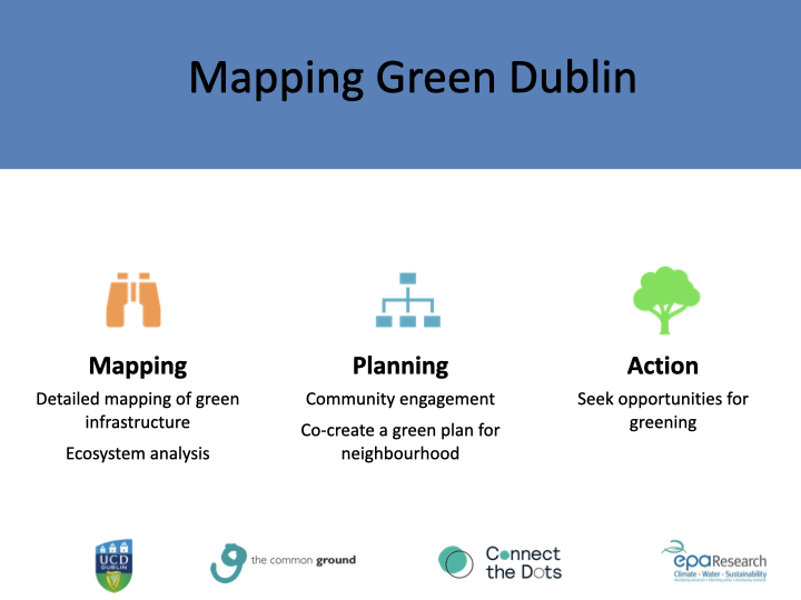
Associate Professor Gerald Mills outlines our tree mapping work in the presentation below that was given at our community launch event in March 2020. Scroll through the slides for more!


To find out more about Dublin City Council’s Tree Strategy, click here.
