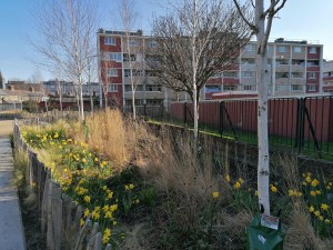
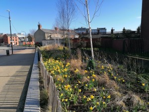
Green infrastructure (GI) includes private gardens, public parks, other spaces such as school playgrounds, club pitches and golf courses, and trees. it plays a key role in soil, water and air management and biodiversity.
This role is sometimes referred to as ‘ecosystem services’ and they are recognised as significant in environmental and spatial planning. How effective they are depends on the extent of GI, its geography and what it is comprised of.
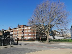
In cities, trees provide an essential component as they are often inserted into the paved landscape and provide a link between the sealed soil layer (e.g. paths and roads) and the atmosphere. They can be used strategically to mitigate traffic emissions and link greenspaces in the city. Tree planting along roads may add economic and aesthetic value to neighbourhoods and provide important health and wellbeing benefits for communities.
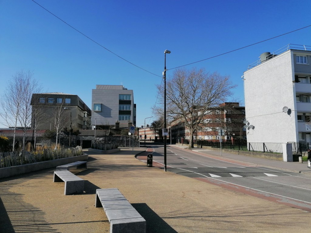
Information on green cover is available for cities in Europe including Dublin through the Urban Atlas. It shows relatively large open green areas across the metropolitan area. This type of mapping is suitable for large-scale urban planning but is of limited value at neighbourhood scales where much of the green cover exists in the form of small parks, private gardens and cemeteries, for example.
The MGD team mapped the trees in Dublin City Council to complement existing information on public green areas, to explore urban green infrastructure and provide a context for assessing the Dublin 8 study area. Once all the trees were mapped, the team encouraged the local community to begin identifying tree species so that the ecosystem services could be calculated.
Our approach and results are summarised on our Tree Mapping and Tree Species pages, and you can contribute to our efforts at identifying trees in your local area using the Curio app.
